Know what fish are out there before you leave the dock.
Deep Ping Fishing is developing technology that can find fish species and fish counts within 10 miles of shoreline, so you spend less time and fuel searching and more time catching.
In development · talking with fishermen nowFishing is still mostly a guessing game.
For generations, fishermen have picked a direction, run an arbitrary distance from shore, and hoped. It costs time and fuel, and a lot of it comes up empty.
Time on the water
Hours go to searching instead of fishing, and that's before the trip back.
Fuel costs
Every mile spent looking in the wrong place is diesel and gas you don't get back.
No live picture
A fish finder only sees what's directly beneath your boat. Nobody sees the bigger picture in real time.
See what's under the water, miles from shore.
Our technology is being built to identify which species are in the water and estimate how many, anywhere within 10 miles of shoreline. We combine those readings with water temperature, depth, bottom habitat, and NOAA charts to show where fish are most likely to be.
- Check likely fish species and counts from your phone before you go
- Cut the guesswork out of where to start
- Built for piers, charter boats, and eventually commercial fleets
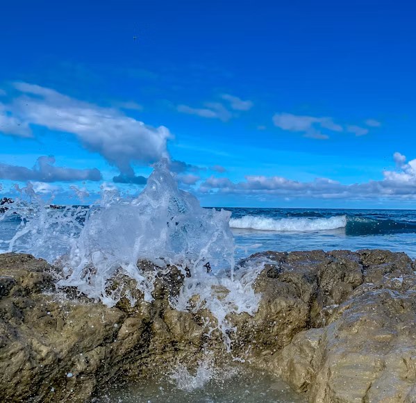
Starting where fishermen already gather.
We're beginning small and learning from the people who'd use it.
Pier and shore anglers
A small pilot at a popular pier, with a free app, is the simplest way to test whether this helps.
Charter captains
For guides who sell trips, knowing where to go first means more fish for clients and less fuel spent finding them.
Commercial fleets
Longer term, a connected network could help larger operations cut search time and emissions.
Help shape it.
We're early, and we want to hear from people who fish. Tell us where you fish and what you'd want from a tool like this.
Take the 5-minute survey